
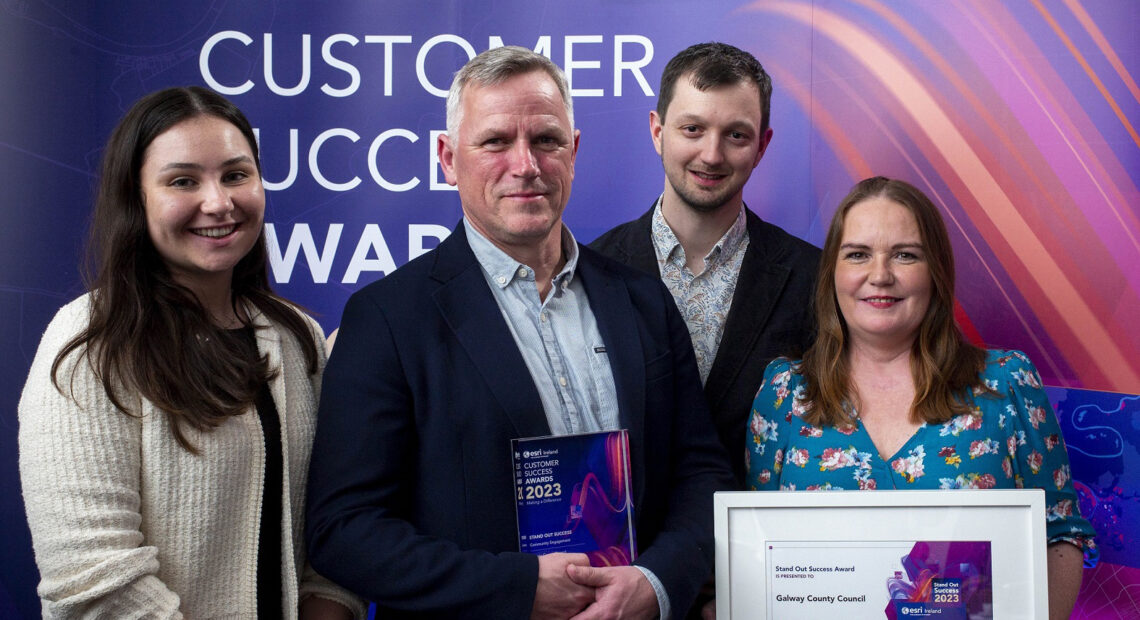
The ‘Digitising Galway’s Graveyard Heritage’ project has been named the overall winner of the ‘Community Engagement’ category of Esri Ireland’s annual Customer Success Awards held in Dublin’s Anantara The Marker Hotel. The project from Galway County Council sought to digitise over 40,000 graveyard memorial records across County Galway and made them publicly available online.
Supported by various groups such as the Galway Rural Development and The Heritage Council, the Galway County Council was able to train local communities to use mobile technology and to undertake drone mapping of graveyards resulting in a public release of 40,000 records from across the county via the Local Authority’s Open Data Portal.
This is the second national award to be picked up by the project after it was named winner at the Public Sector Digital Transformation Awards last October.
Welcoming the award win, Cllr. Liam Carroll, Cathaoirleach of Galway County Council commented, “The success of the Digital Mapping of Graveyards Project is the result of forensic research and cutting-edge surveying work by the Local Authority’s Heritage department and local communities across Galway. This award win is a testament to the innovative nature of the project and its benefit to the diaspora and academia at home and abroad.”
Outlining the background to the project, Barry Doyle, Geographic Information System (GIS) project lead for Galway County Council said, “We have been working with various community groups and organisations to collect and collate valuable data relating to those who are buried in various graveyards for several years.”
“Galway County Council, with funding from the Heritage Council, the Open Data Engagement Fund and its own resources developed and made available a mobile app specifically for use by surveyors at the local level for memorial surveys, along with associated data management and validation processes,” he added. “This technology, along with drone technology, was made available to local community groups to expand the number of graveyards in the project resulting in the 40,000 records that are now publicly available.”
Esri Ireland is the global market leader in GIS and their software is used widely in Ireland in both public and private sector organisations, including most local authorities.
(Source: Dunphy Communications)